
Sićevo Gorge and Suva Planina: two different areas
The Sićevo Gorge is a nature park, not a national park. It is managed by Srbijašume and lies between the areas of Niš and Bela Palanka. The Nišava river runs through the gorge, and a road follows it.
Suva Planina is a special nature reserve and is not part of the Sićevo Gorge nature park. They are separate areas, so do not read them as one hiking route. Niška Banja lies at the foot of Koritnik, a spur of Suva Planina, so the mountain is close to the spa.
Suva Planina after the 2026 fire
In September 2026 the Serbian government reported a forest fire on Suva Planina that had started on 4 September. A state of emergency was declared for part of the territory of Niš and the municipality of Niška Banja. The fire was reported contained on 26 September. On 14 October 2026 the government reported it extinguished, with no deaths and no buildings burned. The headline of that report names Stara Planina, while the text names Suva Planina.
An extinguished fire does not mean that trails, markings and water points are back in use. Before you hike, ask the mountain club, the Mountain Rescue Service or Srbijašume about conditions on the ground, and do not count on water sources along the trail.
Tours and day trips from Niš
Tours in Niš and the surrounding area, including trips into nature, with live prices and availability.
The Sićevo Gorge
A nature park on the Nišava.
The nature park
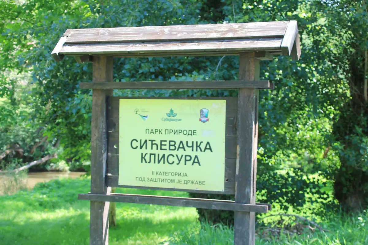
The official name is Park prirode Sićevačka klisura. It covers 7,746 ha between Niš and Bela Palanka.
The Nišava river
The fishing area covers about 15 km of the middle Nišava, with a relatively fast current and a stony bed. Do not assume that swimming or paddling is allowed or safe everywhere. Ask the local authorities first.
What you see
The road through the gorge, forested slopes and a river that winds between the rocks.
Jelašnica Gorge
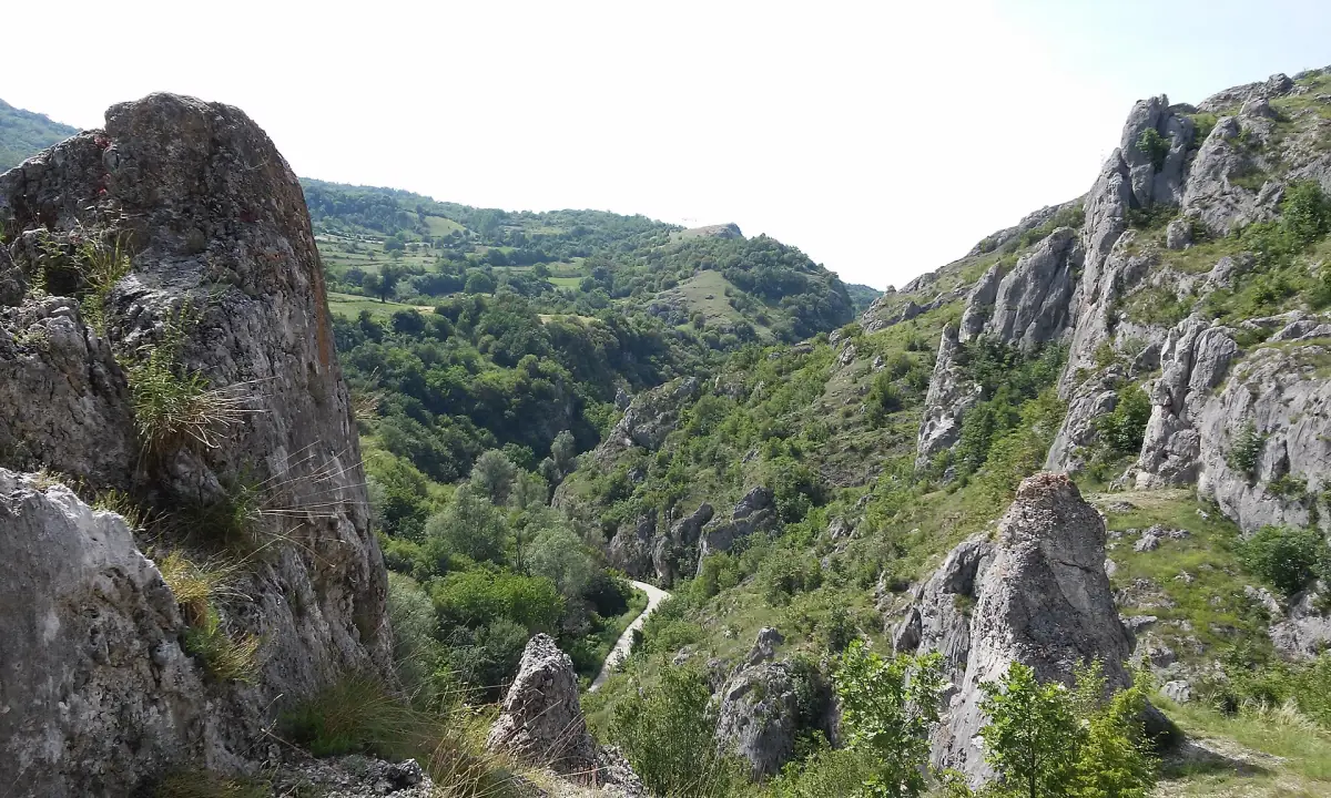
Jelašnica Gorge is a special nature reserve and not part of the nature park. It is managed through the Niš forest estate. It is protected for its Ramonda plants (Ramonda serbica and Ramonda nathaliae). The narrow gorge downstream of Čukljenik is about 1.5 km (0.9 mi) long. That is the length of the gorge, not a set hiking distance.
The photo shows the rock towers of the gorge. Protected plants are not to be picked or pulled up.
Trem and the trail from Niška Banja
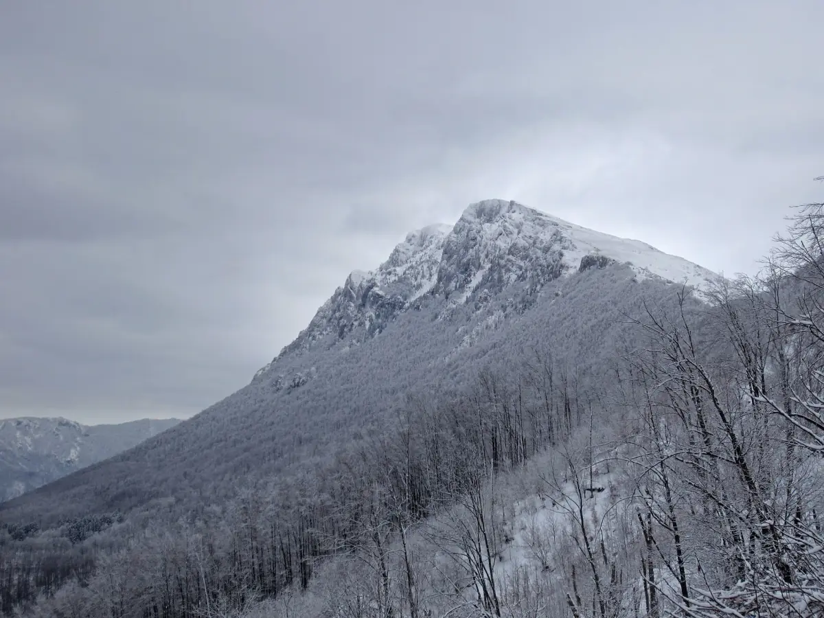
Trem is the best-known peak of Suva Planina, 1,810 m high. An older description by the Serbian hiking association lists the marked route T-3-13: Niška Banja, Devojački grob, Trem and Bojanine vode, 29.5 km in total. The start is at 258 m, which means a climb of about 1,550 m to the summit.
This is a demanding mountain route and not a short loop. The description dates from before 2025, so check markings and trail conditions before you set out. The photo shows the peak in winter, and a winter tour needs the right equipment.
Safety and preparation
General advice from the Mountain Rescue Service of Serbia.
Prepare your route
The Mountain Rescue Service advises preparing a tour in advance and, if you can, joining a hiking group. Match your plan to the weather and your equipment.
Calling for help
The number of the Mountain Rescue Service of Serbia is 062 46 46 46. Save it in your phone before you set out, because reception can disappear on the mountain.
Rules in protected areas
Rules on camping, fires, drones, climbing and dogs can differ by area. Ask Srbijašume or on the spot, and do not assume something is allowed.
Weather
Weather in Niš (the station is at 202 m) does not describe conditions on the ridge. Mountain weather changes quickly, so check the forecast for the altitude where you will walk.
Sićevo Gorge and Suva Planina: frequently asked questions
Is Suva Planina part of the Sićevo Gorge?
No. The Sićevo Gorge is a nature park on the Nišava, and Suva Planina is a special nature reserve. Both lie near Niš, but they are different protected areas.
Is Suva Planina open after the fire?
On 14 October 2026 the government reported the fire extinguished. That does not mean all trails are open and safe, so before you set out check with the mountain club or the Mountain Rescue Service.
How high is Trem?
Trem is 1,810 m high. The marked route T-3-13 from Niška Banja is 29.5 km long according to an older description by the hiking association.
Can you swim in the Sićevo Gorge?
The Nišava here has a relatively fast current and a stony bed. Do not assume that swimming is allowed or safe everywhere, and ask the local authorities before you enter the water.
Which number do I call in the mountains?
The Mountain Rescue Service of Serbia: 062 46 46 46.